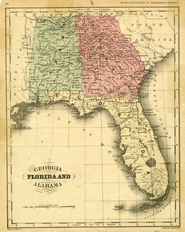
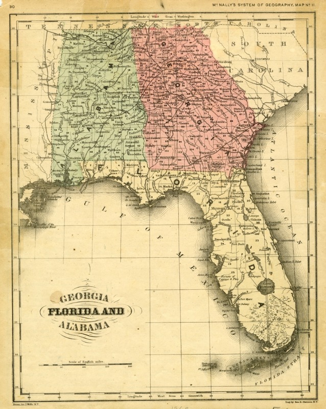
McNally's Map of Georgia, Florida, and Alabama
Dublin Core
Title
McNally's Map of Georgia, Florida, and Alabama
Description
This is a hand-colored map of Florida, Georgia, and Alabama. The map was created by J. Wells and George B. Sherman.
Creator
Source
Publisher
Date
Contributor
Patrick Daglaris
Rights
Public Domain
Format
Language
English
Type
Identifier
FCW001020180422
Coverage
Florida History - U.S. Civil War
Still Image Item Type Metadata
Original Format
Physical Dimensions
10.5 x 8 in., on sheet 12 x 9 in.
Collection
Citation
Veronica Birmingham, “McNally's Map of Georgia, Florida, and Alabama,” LIS5472 Sp18 Group 2: Florida in the Civil War Digital Library, accessed February 12, 2026, https://lis5472.cci.fsu.edu/sp18/group1/items/show/18.

