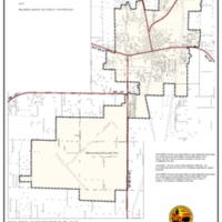
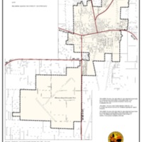
Regional Hurricane Evacuation Map
Dublin Core
Title
Regional Hurricane Evacuation Map
Subject
Map
Description
A map of the hurricane evacuation plan of the City of Williston.
Creator
The City of Williston
Source
[no text]
Publisher
The City of Williston
Date
unk.
Contributor
The City of Williston
Rights
Public
Relation
[no text]
Format
JPEG
Language
English
Type
Map
Identifier
Hurricane Evacuation Map
Coverage
[no text]
Still Image Item Type Metadata
Original Format
Map
Physical Dimensions
4400 x 6800
Files
Collection
Citation
The City of Williston, “Regional Hurricane Evacuation Map,” LIS5472 Sp18 Group 4, accessed February 23, 2026, https://lis5472.cci.fsu.edu/sp18/group4/items/show/23.

