Featured Item
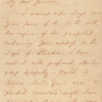
Civil War letter to Governor Call, 1860

Call frequently changed his political affiliations, being in turn a Democrat, Whig, Know-Nothing, and Constitutional Unionist. As the country lurched…

Call frequently changed his political affiliations, being in turn a Democrat, Whig, Know-Nothing, and Constitutional Unionist. As the country lurched…