Featured Item
Newspaper Article from the Florida Sentinel

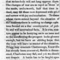
Newspaper clipping from The Florida Sentinel forecasting that the recapture of Charleston will happen before mid-November, 1863.

Newspaper clipping from The Florida Sentinel forecasting that the recapture of Charleston will happen before mid-November, 1863.